Avoid Highways is a series about road trips that don’t require driving on interstate highways, instead favoring winding, two-lane roads that lead us to unexpected destinations.
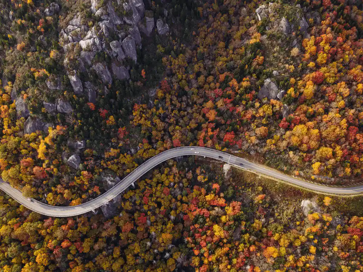
The Blue Ridge Parkway, known for its scenic beauty, is a remarkable project that stretches across the Appalachian Highlands in the United States. This roadway is not just a means to travel from one place to another; it is a journey through the heart of America’s natural and cultural heritage, designed to enhance the landscape it traverses.
The idea of the Blue Ridge Parkway was conceived in the early 1930s, during a time when the United States was grappling with the Great Depression. The project was part of President Franklin D. Roosevelt’s New Deal initiatives, aimed at creating jobs and boosting economic recovery. The concept was to build a road that would connect Shenandoah National Park in Virginia to the Great Smoky Mountains National Park in North Carolina and Tennessee, providing a continuous, scenic route through the Appalachian Mountains.
The construction of the Parkway was an ambitious project that required not only the building of a road but also the creation of a unique experience that blended seamlessly with the natural environment. The design emphasized preserving the natural landscape, offering expansive vistas, and providing access to recreational areas, all while minimizing the impact on the ecosystem. The Parkway was envisioned as a “museum of the managed American countryside,” showcasing the region’s history, culture, and biodiversity.
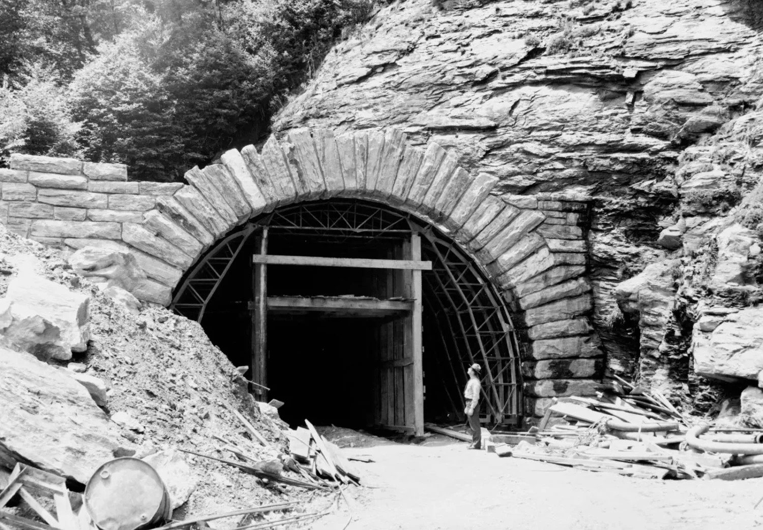
Stanley Abbott, the Parkway’s first landscape architect and planner, played a pivotal role in shaping its course and design. He envisioned the Parkway as more than just a road; it was to be a destination in itself, offering visitors a chance to immerse themselves in the natural beauty and cultural heritage of the Appalachian region. The design included gentle curves, low stone walls, and carefully selected overlooks that offered breathtaking views of the mountains, valleys, and forests.
Construction of the Blue Ridge Parkway began in 1935 and continued over several decades, with the final section completed in 1987. The construction process was a monumental task, involving the coordination of various federal and state agencies, and required innovative engineering solutions to address the challenges of building a road at high elevations with minimal environmental impact.
Throughout its history, the Parkway has been more than just a road. It has served as a venue for preserving the Appalachian culture, offering interpretive exhibits, visitor centers, and cultural demonstrations. It also plays a crucial role in conservation, protecting a variety of habitats and species along its corridor.
Today, the Blue Ridge Parkway stands as a testament to the vision of its creators and the dedication of countless individuals who worked to bring this dream to fruition. It continues to be a beloved destination for millions of visitors each year, offering unparalleled opportunities for sightseeing, hiking, biking, and exploring the natural and cultural treasures of the Appalachian Highlands.
Getting Ready To Roll
Before you hit the road, there are a couple of obvious measures you should take to ensure preparedness. First of all you want to make sure your car is in good running condition with no indicator or warning lights flashing, good pressure in the tires, and on-schedule in terms of routine maintenance. You’ll also want to make sure you have a plan for backup navigation in case your cell loses power or service (an atlas or foldable road maps are always a good idea), and you should acquaint yourself with the weather forecast for the region, especially considering you’ll be driving on winding, mountainous roads.
It’s also not a bad idea to try and get a sense of how long you’ll take going from one point along the route to the next. Probably the greatest aspect of road tripping is the degree of freedom and spontaneity it allows for; you can make unplanned pit stops when you see something interesting along the road, or stop at a scenic overlook to take in the air and grab a photo. With that said, you may want to plot out where you’ll plan to stop overnight along the way and book lodging in advance, especially if the idea of keeping things flexible with your accommodations makes your palms sweat.
One of the nice things about this particular route is the amount of towns and attractions clustered along the way, giving you lots of options to stop for meals and overnight stays. Having a sense of the major destinations and any must-sees on your own personal list before you start driving is a good way to ensure you don’t end up missing anything.
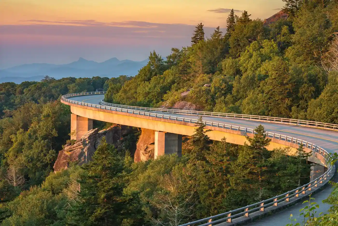
The Route
Finally, it’s time to hit the road. For the purposes of this overview, we’re assuming an east-to-west trajectory beginning near Ravensford, North Carolina and ending a little way outside of Waynesboro, Virginia. It goes without saying, however, that you can go the other direction or jump on or off the parkway at any point that’s convenient for you (many travelers like to begin or end their trips in Asheville, North Carolina, for example, because of the sheer volume of things to do there).
First of all, let’s talk about timing. The Blue Ridge Parkway spans 469 miles, meaning if you wanted to you could drive the whole route in the span of one day. Of course if you did go that route, you probably won’t have time for much else. Averaging 55 miles per hour (and in some sections you will need to drive slower than this) with no stops you’d still need 8.5 hours to drive from start to finish. Stops for meals and sightseeing would mean you’re likely to be driving the end portion in the dark and while the mountains are beautiful anytime of day, you may end up missing some great scenery.
With the route length in mind, pick an amount of time that feels reasonable to you to make the drive. Some travel guides suggest taking as much as five days to drive the route so that you can make the most of the stops and attractions along the way. You may find a two-day or three-day itinerary works better for you, or you may decide to spend whole days in specific locations along the way and go even slower. There are almost no wrong answers here, although we can’t honestly say we’d recommend trying to tackle the whole route in one day.
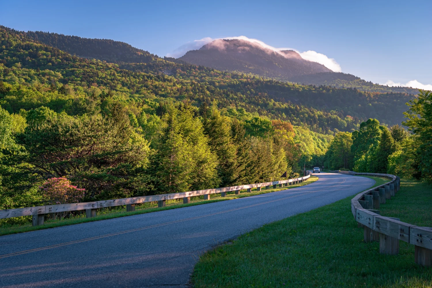
To begin, you’ll be just outside of Great Smoky Mountains National Park, a destination very much worth visiting all its own. Starting out the road traverses peaks and valleys of the Smokies in a southeastern direction, cutting directly through another remote wilderness area before turning northeast and meandering into Asheville. In fact the Parkway itself veers on the outskirts of Asheville proper, and if you’re wanting to check out the iconic mountain town with its bars, restaurants, and historic sites, you’ll need to divert course.
With Asheville in your rearview mirror, you’ll be heading northeast through a remote stretch that travels through protected lands like the Pisgah National Forest and Grandfather Mountain State Park. Needless to say the opportunities along the way for scenic views, hiking, and wildlife viewing are abundant. In many cases there are trailheads and overlooks accessible right off the road.
The next population center you’ll veer toward is Blowing Rock North Carolina, which despite its small-town status has no shortage of small inns, B&Bs, and hotels. There are also plenty of tourist attractions like Moses Cone Memorial Park, right off the Parkway, which features walking trails and a restored 100-year-old manor.
As you wind your way northeast you’ll pass by no shortage of overlooks, hiking trails, and other diversions. It should also be noted that for those who prefer a more rugged style of travel, several campgrounds can be found along the Parkway between this point and the Virginia border. One particular sight worth stopping at is Doughton Park which features an authentic, preserved mountain cabin that offers cultural demonstrations about settler life in the region during the warmer months.
After crossing into Virginia the Parkway will wind through a handful of small towns including Fancy Gap, all of which offer their own unique opportunities in the way of lodging, camping, dining, and local curiosities. One of the next major attractions along the route is Mabry Mill, a rustic Appalachian mill that was once used to grind corn and saw lumber. If you happen by on a Sunday you may be able to catch some traditional live music.
Before long you’ll wind your way through more remote recreation areas and parks, before passing just outside the next major population center of Roanoke Virginia. With just under 100,000 year-round residents, Roanoke will feature more of the larger town amenities you last saw in Asheville, while still retaining a regional character and charm all its own.
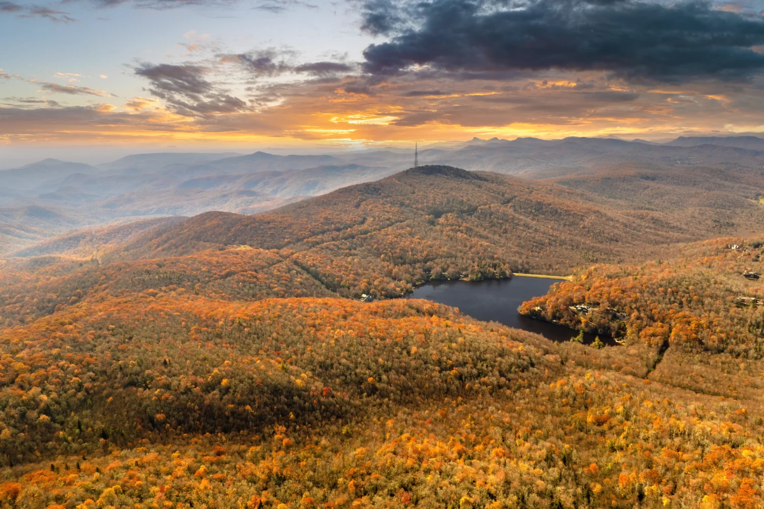
After Roanoke you will soon encounter the George Washington and Jefferson National Forest land, an area as remote as anything you’ll have seen since leaving North Carolina, and featuring all the backcountry attractions you’ll have come to expect by this point in the journey. After almost 80 miles of road through this scenic stretch, you’ll finally head back into civilization and, not coincidentally, the terminus of the Parkway. Hopefully it was a memorable, relaxing drive.


